What are Electronic Globe & Geography Tools?
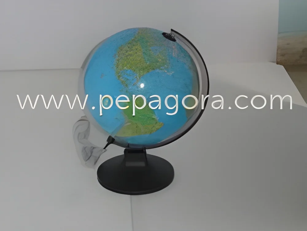
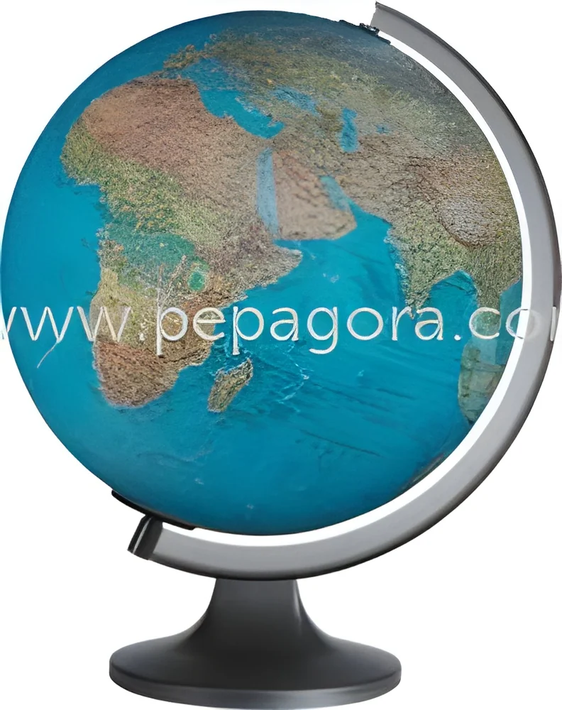
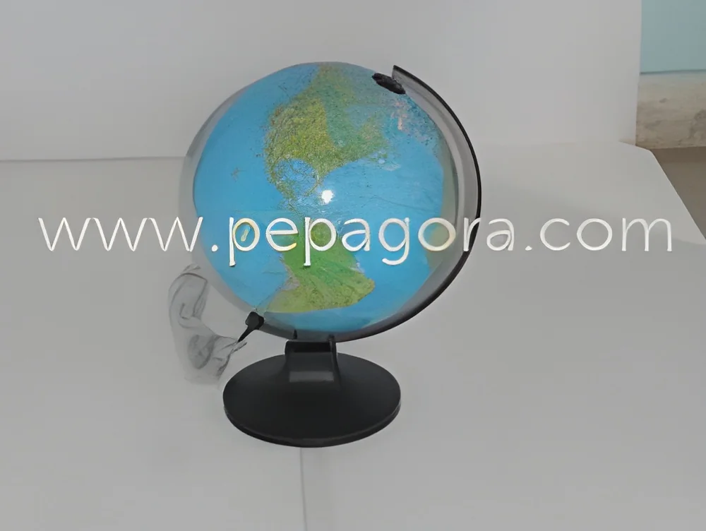
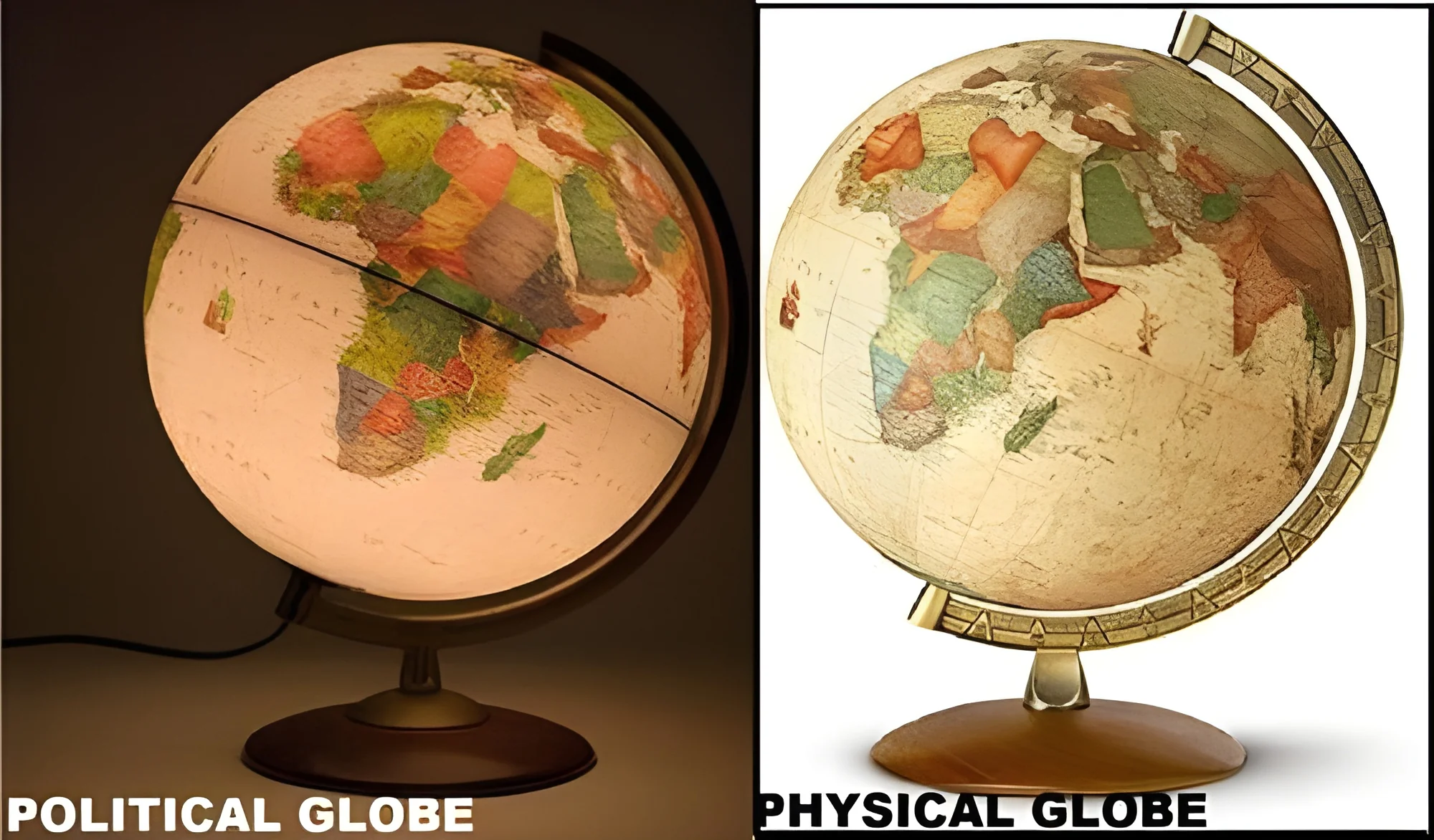
Electronic Globe and Geography Tools are advanced educational and informational devices designed to enhance the understanding of geography and the world. These tools often combine traditional globes with electronic features, allowing users to interact with geographical data in a dynamic and engaging manner. They are equipped with digital displays, touch interfaces, and interactive elements that provide a wealth of information about countries, cities, and physical geographical features.
The primary uses of Electronic Globe and Geography Tools span various sectors including education, research, and corporate training. Schools utilize these tools to facilitate interactive learning experiences, making complex geographical concepts more accessible to students. Businesses often deploy them in training programs to educate employees about global operations, market dynamics, and international logistics. The growing demand for such tools is evident in the education and corporate sectors, where they are increasingly viewed as essential resources for fostering geographical literacy and spatial awareness.
The relevance of Electronic Globe and Geography Tools is underscored by the ongoing digital transformation across industries. As organizations strive to enhance educational outcomes and improve strategic decision-making, the integration of innovative educational tools becomes vital. The market for these products continues to expand as more institutions recognize the value of incorporating technology into their geographical studies, leading to increased investment in advanced teaching aids.
Key Features and Specifications
Electronic Globe and Geography Tools are distinguished by their innovative features and technical specifications. These tools combine traditional geographic representations with modern technology to facilitate interactive learning and exploration.
Key specifications include:
1. Digital Display
- High-resolution screens that provide clear visuals of maps and geographical data.
- Interactive touch capabilities for user engagement.
2. Interactive Software
- Pre-installed applications that allow users to explore countries, cultures, and geographical facts.
- Updates to ensure access to the latest geographical information.
3. Multi-Language Support
- Options to display information in various languages, enhancing accessibility for diverse user groups.
4. Connectivity Options
- Wi-Fi and Bluetooth capabilities for easy integration with other devices and online resources.
5. Portable Design
- Lightweight and compact designs that facilitate easy transportation and use in various environments.
6. Educational Content
- Access to a library of educational materials, quizzes, and interactive lessons tailored to various educational levels.
7. User-Friendly Interface
- Intuitive navigation that allows users of all ages to easily interact with the globe and its features.
8. Battery Life
- Long-lasting batteries that support extended use without frequent recharging.
These features make Electronic Globe and Geography Tools an invaluable asset in educational and professional settings.
Common Applications and Use Cases
Electronic Globe and Geography Tools find applications across various industries, enhancing learning and operational efficiency.
1. Education: Schools and universities use these tools to create interactive classrooms. They enhance student engagement and facilitate a better understanding of complex geographical concepts.
2. Corporate Training: Businesses utilize these tools to train employees on global markets and logistics. They provide insights into geographical factors affecting business operations.
3. Research Institutions: Research organizations leverage these tools for data visualization and analysis. They enhance research presentations and facilitate collaborative projects.
4. Travel and Tourism: Travel agencies use Electronic Globe and Geography Tools to showcase destinations and geographic features. They help clients plan trips with a better understanding of locations.
5. Government Agencies: Public sector organizations employ these tools for urban planning and environmental monitoring. They aid in visualizing demographic data and geographical trends.
6. Museums and Educational Centers: Museums use these tools as interactive exhibits. They help visitors learn about geography in an engaging way.
7. Non-Governmental Organizations: NGOs utilize these tools for awareness campaigns. They help illustrate global issues such as climate change and social justice.
Product Variants and Subcategories
Electronic Globe and Geography Tools offer a variety of products to meet diverse needs. Each variant is designed with specific features and applications.
Interactive Learning Globe
This variant includes a touchscreen interface and a library of educational content. It is ideal for classrooms and educational institutions seeking to enhance student engagement through interactive learning experiences.
Geography Exploration Kit
This kit combines an electronic globe with supplementary materials such as maps and lesson plans. It is suitable for educators who want a comprehensive teaching resource for geography lessons.
Benefits and Advantages
Electronic Globe and Geography Tools provide numerous benefits that enhance their value in educational and professional applications.
Key benefits include:
1. Enhanced Engagement: These tools facilitate interactive learning, keeping users engaged and motivated.
2. Improved Understanding: They provide visual representations of geographical data, aiding in comprehension of complex concepts.
3. Accessibility: Multi-language support and interactive features make geographical information accessible to a broader audience.
4. Efficient Learning: The integration of technology streamlines the learning process, allowing for quicker knowledge acquisition.
5. Versatility: Suitable for various industries, these tools can be used in education, corporate training, and research.
6. Data Visualization: They enable users to visualize data effectively, supporting better decision-making processes.
Buying Guide for B2B Buyers
When sourcing Electronic Globe and Geography Tools, several factors are essential for making informed purchasing decisions.
1. Quality Assessment: Evaluate the build quality and durability of the products. Look for tools that meet industry standards and have positive reviews from previous users.
2. Supplier Verification: Research potential suppliers to ensure they have a reliable reputation. Check for customer feedback and certifications to gauge their credibility.
3. Pricing and MOQ: Consider the cost of the tools and any minimum order quantities. Compare prices among different suppliers to find the best deal without compromising quality.
4. Delivery and Lead Times: Understand the logistics involved in shipping the products. Ensure that suppliers can meet your delivery timelines to avoid disruptions.
5. Compliance Requirements: Be aware of any regulatory standards or certifications that apply to the products. Ensure that the tools meet necessary compliance for your region.
Compliance and Certifications
Electronic Globe and Geography Tools must adhere to various quality standards and certifications to ensure safety and reliability.
Relevant quality standards include ISO 9001, which ensures consistent quality management processes. Compliance with such standards indicates that manufacturers prioritize quality in their production.
Additionally, many Electronic Globe and Geography Tools carry the CE mark, signifying conformity with European health, safety, and environmental protection standards. This certification provides assurance to buyers regarding the product's quality and safety.
Safety and testing requirements are also critical. Manufacturers should conduct thorough testing to ensure that their products are safe for use, particularly in educational settings.
Regional compliance considerations may vary. Buyers should verify that the products meet applicable regulations in their specific market regions to avoid potential legal issues.
Why Source Electronic Globe & Geography Tools from Pepagora?
Pepagora provides a trusted platform for sourcing Electronic Globe and Geography Tools, offering several key advantages for B2B buyers.
Verified Supplier Network: Pepagora ensures that all suppliers in its network are thoroughly vetted. This process guarantees that buyers can trust the quality and reliability of the products they purchase.
Streamlined RFQ Process: The request for quotation process on Pepagora is simple and efficient. Buyers can easily submit their requirements and receive multiple quotations from verified suppliers, saving time and effort.
Trade Assurance and Support: Pepagora offers trade assurance, providing buyers with protection throughout the purchasing process. This support helps build confidence in transactions and enhances buyer security.
Regional Coverage: With a strong focus on markets such as India, the GCC, and Southeast Asia, Pepagora ensures extensive regional coverage. This geographic reach allows buyers to access a diverse range of suppliers and products tailored to their specific needs.

 IN
IN
 India
India