IN
IN₹
Description
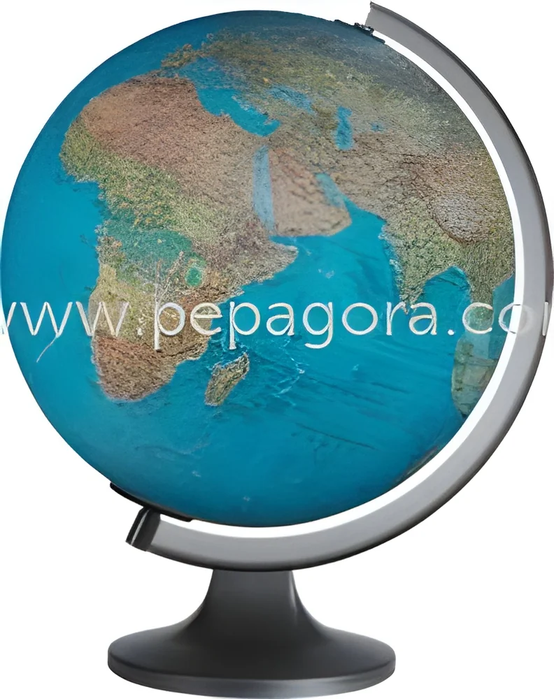
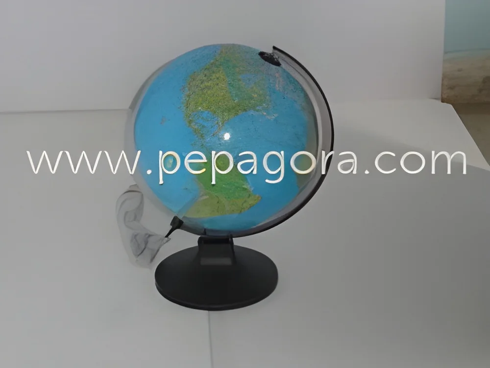
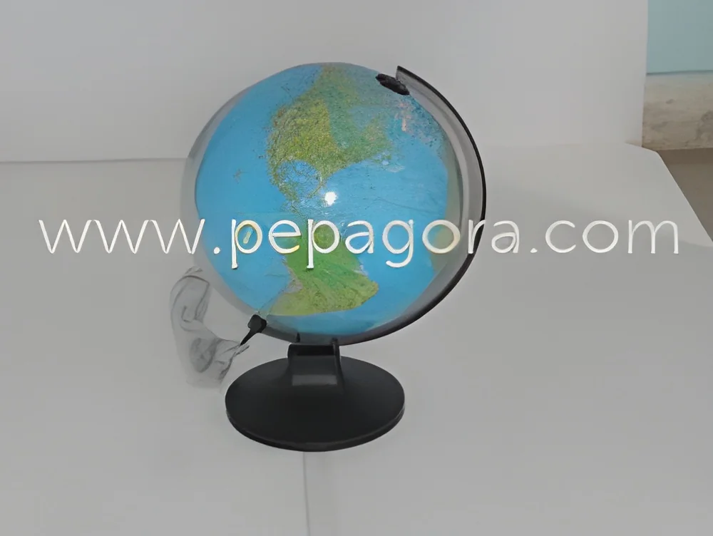
The Educational Illuminated Political Physical Replogle Globe is a premium geographical reference instrument designed for accuracy and durability. It combines detailed political boundaries with comprehensive physical terrain on a single sphere, featuring meticulous cartography certified by the Survey of India. The integrated illumination system provides dual functionality, serving as a clear reference in daylight and an elegant display when lit. Mounted on a robust, molded base for stability, this globe is constructed from high-quality materials to ensure long-term performance, making it a reliable tool for serious geographical study and professional use.

Educational institutions across all levels integrate this globe into their geography and social science curricula. Its clear visual representation of countries, borders, mountains, and oceans makes abstract concepts tangible for students. Corporations utilize it in planning departments and executive suites to visualize global markets...
The Educational Illuminated Political Physical Replogle Globe is a premium geographical reference instrument designed for accuracy and durability. It combines detailed political boundaries with comprehensive physical terrain on a single sphere, featuring meticulous cartography certified by the Survey of India. The integrated illumination system provides dual functionality, serving as a clear reference in daylight and an elegant display when lit. Mounted on a robust, molded base for stability, this globe is constructed from high-quality materials to ensure long-term performance, making it a reliable tool for serious geographical study and professional use.

Educational institutions across all levels integrate this globe into their geography and social science curricula. Its clear visual representation of countries, borders, mountains, and oceans makes abstract concepts tangible for students. Corporations utilize it in planning departments and executive suites to visualize global markets, logistics, and international partnerships. Government agencies, particularly in foreign affairs, defense, and urban planning, rely on its certified accuracy for analysis and decision-making. Libraries, museums, and research centers also employ it as a trusted public reference and an element of sophisticated interior design that conveys a global perspective.

This globe delivers significant value through its proven reliability and educational utility, representing a sound investment for organizations. Its durable construction ensures it remains a functional asset for years, resisting wear from frequent handling. The Survey of India certification provides an authoritative guarantee of accuracy, building trust with users who depend on precise data. This combination of quality, accuracy, and functional design makes it a preferred choice for importers and distributors supplying educational and professional markets, offering a product known for its integrity and long service life.

Key Features:
- Dual-layer mapping displaying both political boundaries and physical geography simultaneously.
- Integrated internal illumination for enhanced visibility and ambient lighting functionality.
- Cartography certified by the Survey of India for guaranteed geographical accuracy.
- Durable molded base providing exceptional stability and scratch-resistant performance.
- Constructed with high-quality, long-lasting materials for extended durability and use.

Benefits:
- Supports comprehensive geographical understanding by combining political and physical data in one view.
- Enhances usability in various lighting conditions, suitable for both study and presentation environments.
- Provides trusted, certified accuracy essential for educational instruction and professional planning.
- Offers reliable, long-term performance due to sturdy construction and quality materials.
- Delivers excellent return on investment through durability and sustained functional utility.
Specifications
| Additional Information | |
|---|---|
| Country of Origin | India |
Application
This illuminated Replogle Globe serves as a vital educational resource in schools and universities, where its clear political-physical mapping helps students grasp complex geography. The sturdy construction withstands frequent classroom use, while the illumination enhances visibility for detailed study and interactive lessons, supporting curriculum standards and engaging learning experiences.
In professional environments, the globe functions as both a precise reference tool and sophisticated decor. Its accurate cartography aids in international business planning, market analysis, and strategic discussions within boardrooms and executive offices. The dual-purpose lighting ensures clarity during presentations and adds an elegant ambiance, making it suitable for various corporate settings and institutional libraries.
- Enhancing geography lessons and student engagement in primary and secondary school classrooms.
- Supporting global strategy development and market analysis in corporate boardrooms.
- Providing accurate geographical reference in university libraries and research facilities.
- Aiding geopolitical analysis and planning in government and diplomatic offices.
- Serving as a reliable visual aid in media broadcasting and news production studios.
Trade Details
| Available Stock | In Stock |
| Sample Availability | No |
Payment Terms
| Payment Terms |
|
Company Profile
N C Kansil & Sons, New Delhi
 New Delhi, India
New Delhi, IndiaManufacturer
Factory Details
Factory SizeBelow 1000 sqm
Annual Production Capacity0
Educational Illuminated Political Physical Replogle Globe with Durable Construction
Educational illuminated Replogle Globe with political-physical mapping and durable construction. Features detailed cartography, dual-purpose lighting, and Survey of India certification for accurate geographical reference in classrooms and offices.
Min. Order Quantity: 1 unit
Shipping
Shipping fee and delivery date to be negotiated. Contact supplier now for more details.
N C Kansil & Sons
 New Delhi, India
New Delhi, IndiaManufacturer