IN
IN₹
Apparel & Fashion
Description
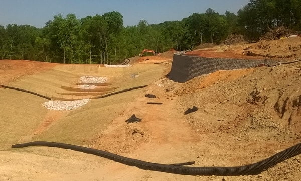
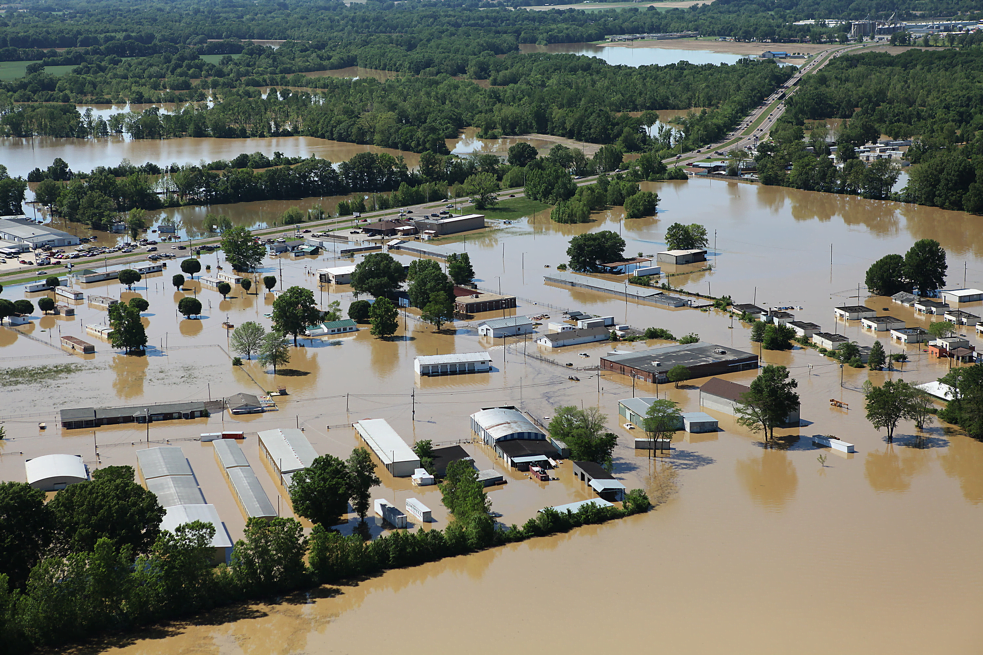
Our Flood Management Studies begin with a detailed site survey to evaluate soil lithology, hydrogeological conditions, and site contours. Using GIS technology, we prepare 10 km radius maps highlighting surface water bodies, topography, and physiographical features. Flood inundation maps are developed using both primary and secondary data, along with detailed 1 km radius flood inundation and surface water flow vector maps. The project site is thoroughly assessed to determine potential flood risks, and customized flood management strategies are recommended to minimize risks and support safe, sustainable project development.
Specifications
| Key Attributes | |
|---|---|
| Type of Study | Hydrological Study, Environmental Impact Assessment, Risk Assessment, Site Survey, Feasibility Study |
Application
Infrastructure Projects – Assesses flood risks for roads, bridges, airports, and public infrastructure developments.
Industrial Facilities – Evaluates site suitability and recommends flood protection measures for industrial projects.
Urban & Township Development – Supports flood-resilient planning for residential and commercial developments.
Power & Energy Projects – Identifies flood hazards for power plants, substations, and renewable energy facilities.
Water Resource Management – Analyzes drainage systems, rivers, and surface water flow for effective flood mitigation.
Company Profile

ABC Techno Labs, Tamil Nadu
 Tamil Nadu, India
Tamil Nadu, India18 yrs
Service Provider
Turn Over
Above ₹10 Crore
Factory Details
Factory Size1000-5000 sqm
Frequently Asked Questions
1
Which projects require Flood Management Studies?
Infrastructure, industrial, township, power, mining, and water resource projects commonly require these studies.
2
How are flood risks assessed?
Flood risks are evaluated using site investigations, topographical data, hydrological analysis, GIS mapping, and historical flood records.
3
What are flood inundation maps?
Flood inundation maps show the extent and depth of flooding under different rainfall or flood scenarios.
4
Who can benefit from Flood Management Studies?
Government agencies, industries, developers, infrastructure planners, and communities can benefit from these studies.
Flood Managment Studies
Flood Management Studies assess flood risks, analyze drainage patterns, and recommend effective mitigation measures to reduce flood impacts, protect communities, and support sustainable infrastructure planning.
Min. Order Quantity: 1000 sqft
Shipping
Shipping fee and delivery date to be negotiated. Contact supplier now for more details.
ABC Techno Labs
 Tamil Nadu, India
Tamil Nadu, IndiaService Provider