IN
IN₹
Apparel & Fashion
Description
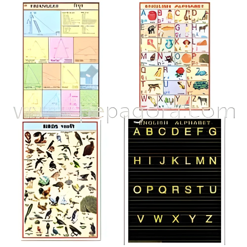
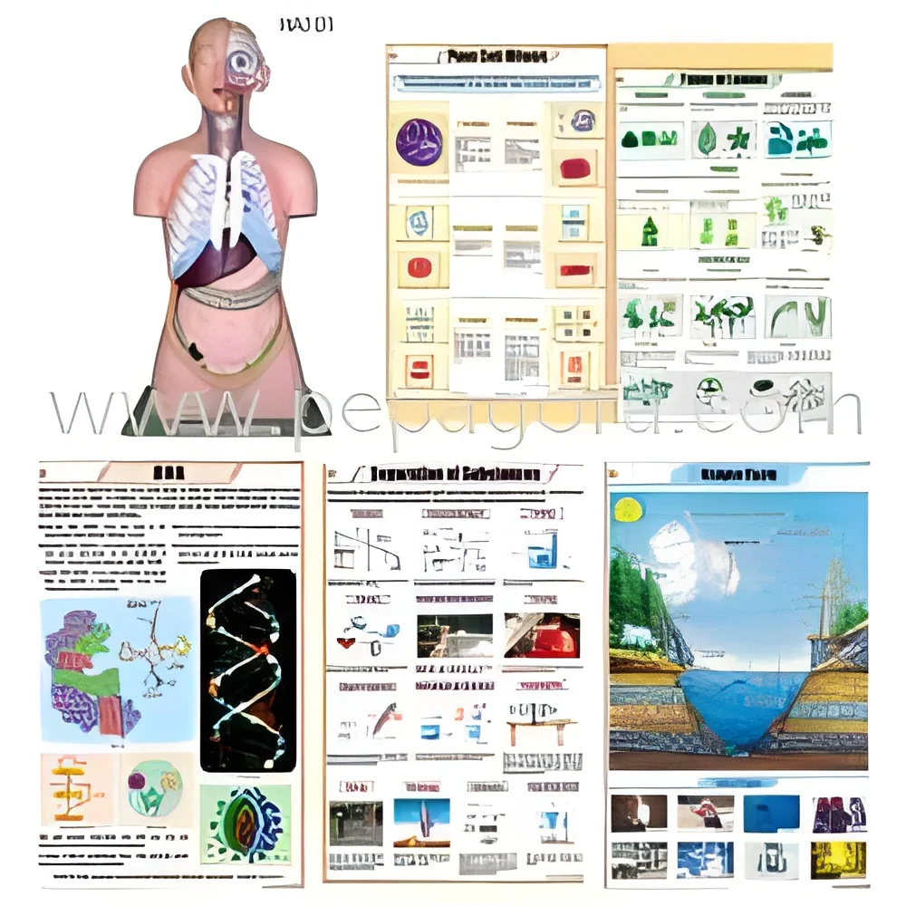
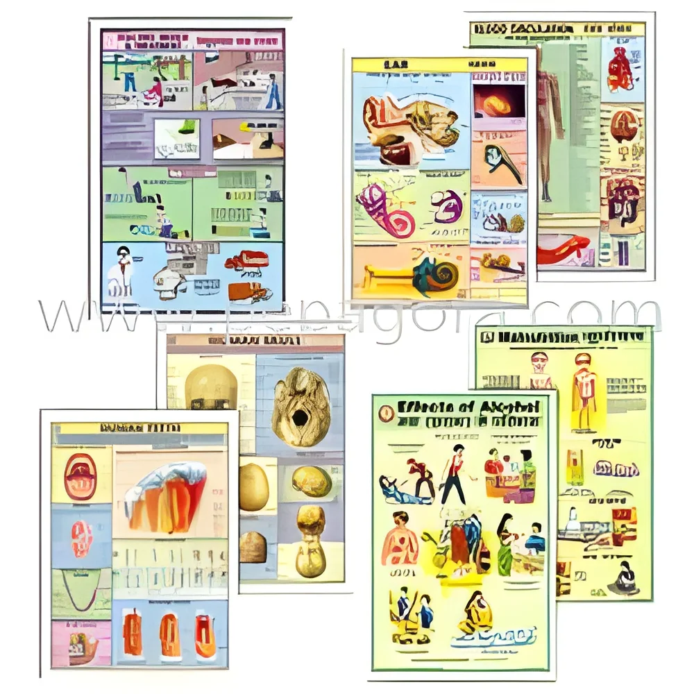
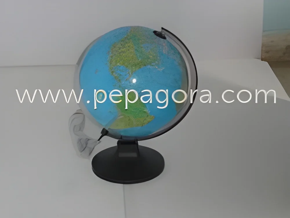
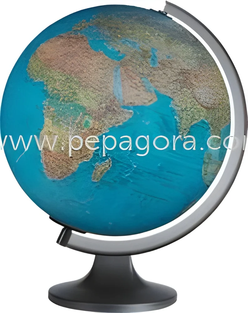
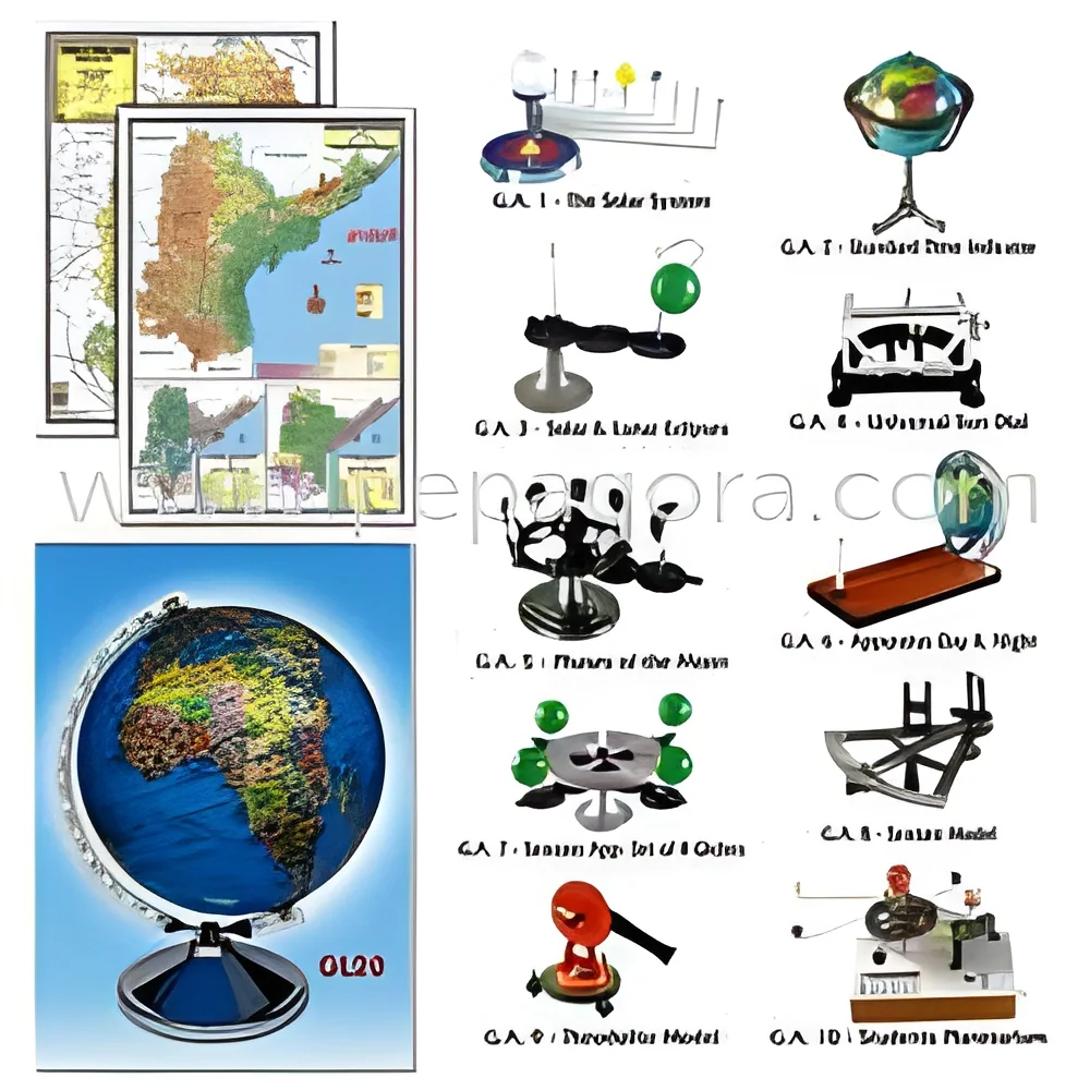
We manufacture premium geography teaching materials designed to withstand the demands of educational environments while delivering exceptional instructional value. Our comprehensive range includes durable wall maps of India, World, and Continents, geographical apparatus, and professional-grade surveying instruments. Each product is crafted with attention to educational accuracy and practical utility, featuring clear visual representations that make geographical concepts accessible and engaging. The materials are printed on high-quality polyart material, ensuring they remain tear-resistant, waterproof, and fade-resistant through years of classroom use. This commitment to durability and precision makes our products reliable tools for educators seeking to enhance geographical understanding through both visual and hands-on learning approaches.

Educational institutions across multiple levels integrate our geography materials into their teaching frameworks. Schools utilize wall maps as perm...
We manufacture premium geography teaching materials designed to withstand the demands of educational environments while delivering exceptional instructional value. Our comprehensive range includes durable wall maps of India, World, and Continents, geographical apparatus, and professional-grade surveying instruments. Each product is crafted with attention to educational accuracy and practical utility, featuring clear visual representations that make geographical concepts accessible and engaging. The materials are printed on high-quality polyart material, ensuring they remain tear-resistant, waterproof, and fade-resistant through years of classroom use. This commitment to durability and precision makes our products reliable tools for educators seeking to enhance geographical understanding through both visual and hands-on learning approaches.

Educational institutions across multiple levels integrate our geography materials into their teaching frameworks. Schools utilize wall maps as permanent classroom references that support daily lessons in geography, social studies, and environmental science. Universities and colleges incorporate surveying instruments and detailed maps into earth science, geology, and urban planning programs for practical training. Government departments responsible for surveying, land management, and urban development use our accurate maps for planning and reference purposes. Training centers for professions requiring geographical knowledge, including logistics, tourism, and environmental management, rely on our clear visual aids to support professional development programs.

Organizations choose our geography teaching materials for their exceptional reliability, educational effectiveness, and long-term value. The durable polyart construction ensures products maintain their visual clarity and structural integrity despite frequent handling, reducing replacement costs and providing consistent educational support year after year. The accuracy of our maps, particularly those based on Survey of India specifications, gives users confidence in the geographical information presented. This combination of durability and precision helps educational institutions achieve better learning outcomes while optimizing their resource investments. The materials support both foundational geographical education and advanced professional applications, making them versatile assets for any organization committed to quality geographical instruction.

Key Features:
- Printed on durable polyart material for tear-resistant, waterproof, and fade-resistant performance
- Includes comprehensive wall maps of India, World, and Continents with clear geographical details
- Features maps based on Survey of India specifications for accuracy and reliability
- Offers geographical apparatus and surveying instruments for practical, hands-on learning
- Designed for high-visibility classroom use with clear labeling and color-coded elements

Benefits:
- Durable construction reduces replacement costs and ensures long-term classroom usability
- Clear visual presentation enhances student comprehension of geographical concepts
- Accurate mapping supports reliable educational content and professional reference
- Practical instruments enable hands-on learning experiences and skill development
- Versatile applications support both basic geographical education and advanced training needs
Specifications
| Additional Information | |
|---|---|
| Country of Origin | India |
Application
Our geography teaching materials transform classrooms into dynamic learning environments. Durable wall maps provide clear visual references for continents, countries, and physical features, while geographical apparatus and surveying instruments enable hands-on practical demonstrations. These resources help educators explain complex concepts like topography, cartography, and spatial relationships with tangible tools that students can see and use directly.
Beyond traditional classrooms, these materials serve professional training and planning needs. Surveying instruments support accurate measurement techniques, and detailed maps facilitate spatial analysis for various projects. The tear-resistant construction ensures longevity in high-use environments, from daily classroom instruction to field training sessions. Institutions value these tools for their educational precision and practical utility across multiple learning scenarios.
- Primary and secondary school geography classrooms for visual learning and curriculum support
- University earth science and environmental studies departments for advanced instruction
- Surveyor and cartography training programs for practical skill development
- Urban planning and municipal offices for spatial reference and project visualization
- Educational resource centers and libraries for public geographical education
Trade Details
| Available Stock | In Stock |
| Sample Availability | No |
Payment Terms
| Payment Terms |
|
Company Profile
N C Kansil & Sons, New Delhi
 New Delhi, India
New Delhi, IndiaManufacturer
Factory Details
Factory SizeBelow 1000 sqm
Annual Production Capacity0
Educational Geography Teaching Materials Durable Wall Maps Surveying Instruments
Premium durable wall maps, geographical apparatus, and surveying instruments for educational institutions. Manufactured with reliable quality for effective geography teaching and practical learning applications.
Min. Order Quantity: 1 unit
Shipping
Shipping fee and delivery date to be negotiated. Contact supplier now for more details.
N C Kansil & Sons
 New Delhi, India
New Delhi, IndiaManufacturer