IN
IN₹
Apparel & Fashion
Description
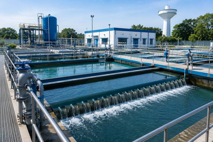
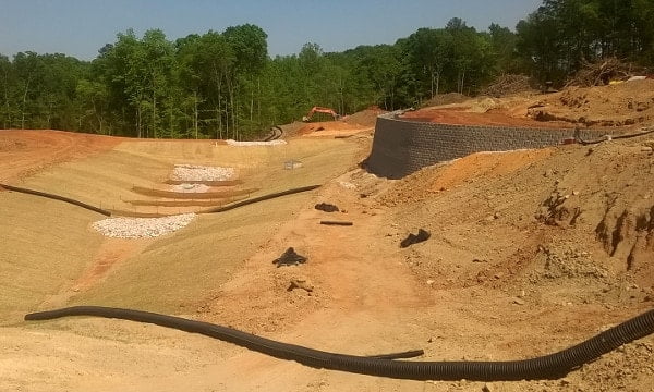
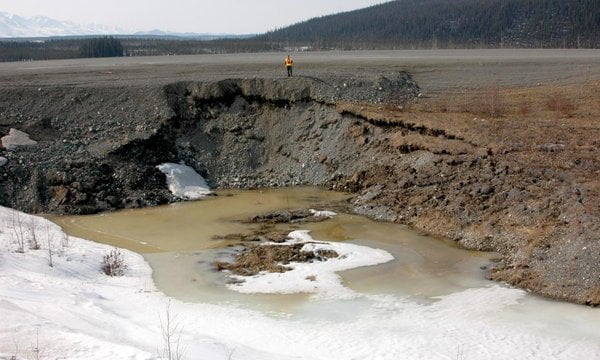
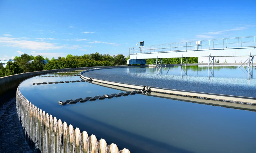
Surface Water Modelling simulates changes in river channels and surface water systems caused by variations in hydraulic conditions, including bank erosion, scouring, sediment deposition, and channel migration. It supports the analysis and design of navigation channels to reduce maintenance dredging, predicts sedimentation around water intakes, outlets, harbors, locks, and reservoirs, and evaluates the hydraulic impacts of bridges, tunnels, pipelines, and other infrastructure crossing rivers and waterways. These studies provide valuable insights for sustainable water resource management and infrastructure planning.
Specifications
| Key Attributes | |
|---|---|
| Flow Analysis | Simulation |
| Water Quality | Assessment |
| Hydrological Data | Analysis |
| Sediment Transport | Evaluation |
Application
River & Channel Management – Analyzes river flow, erosion, sediment transport, and channel stability for effective waterway management.
Flood Risk Assessment – Predicts flood behavior and water level variations to support flood mitigation and emergency planning.
Infrastructure Development – Evaluates the hydraulic impact of bridges, tunnels, pipelines, culverts, and other water-crossing structures.
Navigation & Dredging Planning – Optimizes navigation channel design and predicts sedimentation to minimize maintenance dredging.
Reservoir & Water Intake Assessment – Assesses sediment deposition and flow conditions around reservoirs, harbors, locks, water intakes, and outlets to improve operational efficiency
Company Profile

ABC Techno Labs, Tamil Nadu
 Tamil Nadu, India
Tamil Nadu, India18 yrs
Service Provider
Turn Over
Above ₹10 Crore
Factory Details
Factory Size1000-5000 sqm
Frequently Asked Questions
1
Which projects require Surface Water Modelling?
River training works, dams, reservoirs, bridges, highways, ports, canals, urban drainage systems, and flood management projects commonly require these studies.
2
How does Surface Water Modelling support flood management?
It predicts flood levels, flow patterns, and inundation areas, helping authorities develop effective flood mitigation and emergency response plans.
3
How does Surface Water Modelling help infrastructure projects?
It evaluates the hydraulic effects of bridges, culverts, pipelines, tunnels, and other structures to ensure safe and efficient designs.
4
What are the benefits of Surface Water Modelling?
It improves water resource planning, reduces flood risks, optimizes infrastructure design, minimizes sedimentation issues, and supports environmental sustainability.
Surface Water Modelling
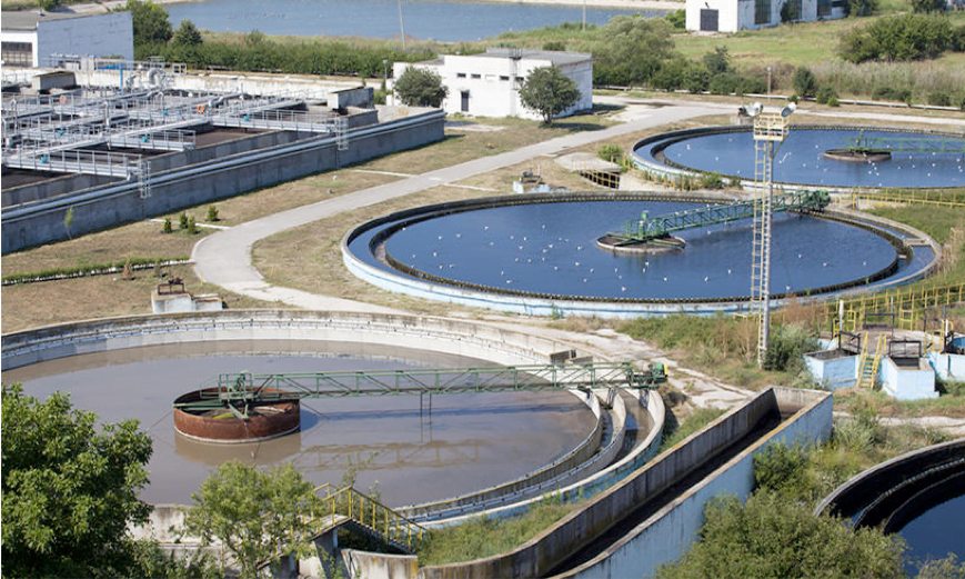
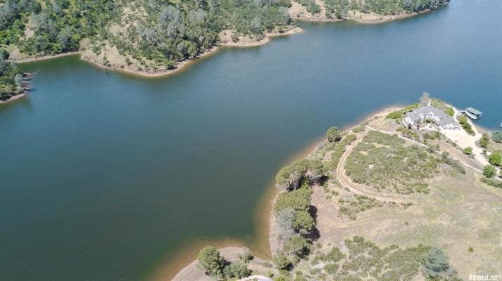
Surface Water Modelling is a scientific technique used to simulate and analyze the movement, distribution, and quality of water in rivers, lakes, reservoirs, canals, and other surface water bodies. It helps predict water flow, flooding, sediment transport, and pollutant dispersion, supporting effective water resource management, environmental planning, and infrastructure development.
Min. Order Quantity: 1000 sqft
Shipping
Shipping fee and delivery date to be negotiated. Contact supplier now for more details.
ABC Techno Labs
 Tamil Nadu, India
Tamil Nadu, IndiaService Provider