IN
₹
Description
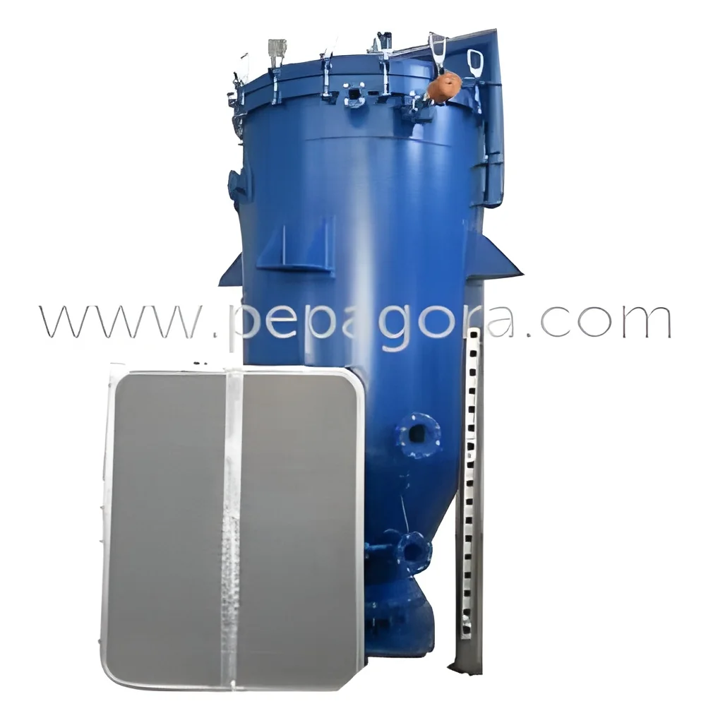
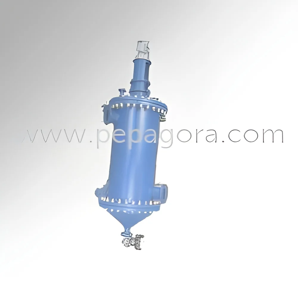
The Industrial Online Filter represents advanced filtration technology specifically engineered for precise web map layer applications in demanding professional environments. This precision equipment delivers exceptional performance through robust construction and engineering excellence, designed to handle complex filtration requirements while maintaining consistent operational reliability. The filter ensures accurate data processing and clean visualization for critical spatial analysis applications across multiple sectors. With superior build quality and reliable performance, it meets the demanding needs of clients who require dependable filtration solutions for their digital mapping and geographic information system operations. The system integrates seamlessly into existing setups while maintaining optimal filtration efficiency and performance standards that professional users expect from industrial-grade equipment.

The Online Filter serves numerous professional industries including ...
The Industrial Online Filter represents advanced filtration technology specifically engineered for precise web map layer applications in demanding professional environments. This precision equipment delivers exceptional performance through robust construction and engineering excellence, designed to handle complex filtration requirements while maintaining consistent operational reliability. The filter ensures accurate data processing and clean visualization for critical spatial analysis applications across multiple sectors. With superior build quality and reliable performance, it meets the demanding needs of clients who require dependable filtration solutions for their digital mapping and geographic information system operations. The system integrates seamlessly into existing setups while maintaining optimal filtration efficiency and performance standards that professional users expect from industrial-grade equipment.

The Online Filter serves numerous professional industries including geographic information systems, environmental monitoring, urban planning, telecommunications, and utility infrastructure management. In GIS applications, it provides precise layer filtration for accurate mapping and spatial analysis that forms the foundation of critical decision-making processes. Environmental agencies utilize these filters for pollution tracking and natural resource management data processing, ensuring regulatory compliance and accurate reporting. Urban planning departments rely on its consistent performance for infrastructure development projects and zoning management, while telecom companies depend on these filters for network mapping accuracy and service optimization across coverage areas. Utility sectors employ these filtration systems for resource planning and infrastructure management, ensuring clean data visualization and reliable operational decision-making.

We prioritize quality engineering and customer satisfaction, ensuring each Online Filter meets strict performance and reliability standards that businesses require for their critical operations. The product delivers significant value through reduced maintenance requirements, consistent filtration performance, and cost-effective operational efficiency that translates to better return on investment for professional users. Our technical expertise and comprehensive support services provide complete peace of mind for businesses investing in reliable filtration solutions for their spatial data processing needs. The robust industrial construction ensures long-term durability while the reliable performance allows for consistent operation in professional environments. This combination of reliability, suitability, and technical differentiation makes our Online Filter an ideal choice for serious buyers seeking dependable equipment that performs consistently.

Key Features:
- Precision engineered for web map layer filtration and spatial data processing
- Industrial-grade construction using durable materials for long service life
- High-efficiency design ensures optimal performance with minimal maintenance
- Reliable continuous operation capability for demanding industrial applications
- Seamless integration with existing geographic information systems

Benefits:
- Enhanced data accuracy and clean visualization for spatial analysis
- Reduced system errors and improved operational efficiency
- Long-term durability with minimal maintenance requirements
- Consistent performance under demanding operational conditions
- Cost-effective operation with reliable filtration performance
Specifications
| Key Attributes | |
|---|---|
| Usage | Web map layers |
| Additional Information | |
|---|---|
| Country of Origin | India |
Application
Industrial Online Filters provide essential precision filtration for web map layers in digital mapping and geographic information systems. These robust systems ensure clean data visualization and accurate spatial analysis for reliable decision-making across multiple professional sectors including environmental monitoring, urban planning, and infrastructure management. They help maintain data integrity while reducing system errors and improving operational efficiency for complex spatial data processing requirements.
These filtration systems deliver critical support for industries where accurate geospatial data determines operational success. From environmental agencies tracking pollution patterns to utility companies managing distributed networks, the filters ensure consistent performance under demanding conditions. Urban development projects rely on them for infrastructure mapping accuracy, while telecommunications providers use them for network optimization and service coverage planning across diverse geographical areas.
- Geographic Information Systems for spatial data management and analysis
- Environmental monitoring for pollution tracking and resource management
- Urban planning departments for infrastructure development mapping
- Telecommunications companies for network coverage optimization
- Utility infrastructure management for resource planning and maintenance
Trade Details
| Available Stock | In Stock |
| Sample Availability | No |
Payment Terms
| Payment Terms |
|
Company Profile

Sruthi Agro Process, Maharashtra
 Maharashtra, India
Industrial Equipment & Machinery•Manufacturer•Importer / Exporter
Factory Details
Factory SizeBelow 1000 sqm
Annual Production Capacity0
Main Markets
Eastern Asia
Western Europe
Africa
Industrial Online Filter For Web Map Layer Filtration In GIS
Industrial Online Filter delivers precise web map layer filtration for GIS applications with reliable performance and superior quality across environmental monitoring and infrastructure management sectors.
Min. Order Quantity: 1 unit
Shipping
Shipping fee and delivery date to be negotiated. Contact supplier now for more details.
Sruthi Agro Process
 Maharashtra, India
Industrial Equipment & MachineryManufacturer